
Perth is bracing for more intense thunderstorms today as most of Australia's coast recovers from a wet and windy weekend.
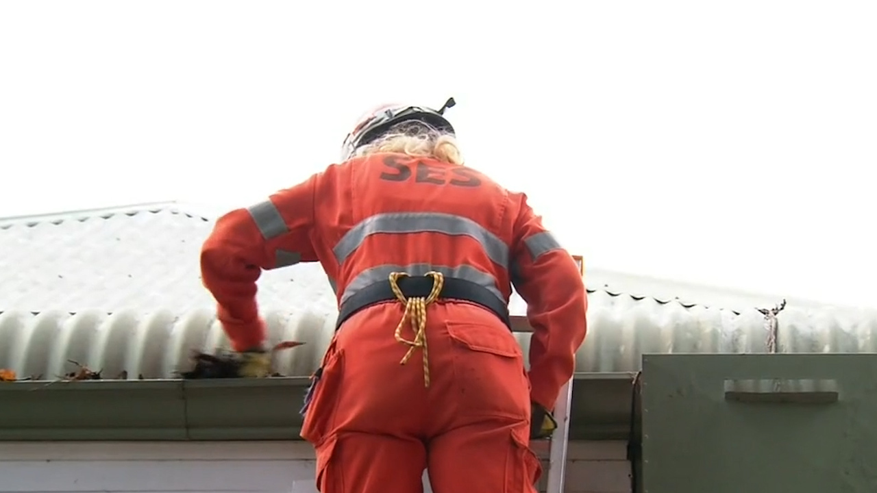
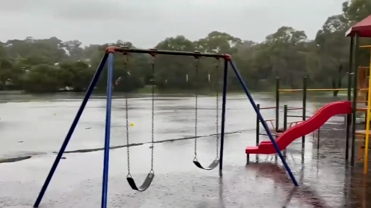
The west coast was hit with a series of freak storms over the weekend, with several roads and properties still flooded.
Now, another supercell storm is bearing down on the city of Perth, with families scrambling to get sandbags set up to try and minimise further damage in what will be the city's fifth major storm in eight days.
LIVE UPDATES: All the latest breaking news on coronavirus in Australia and the world
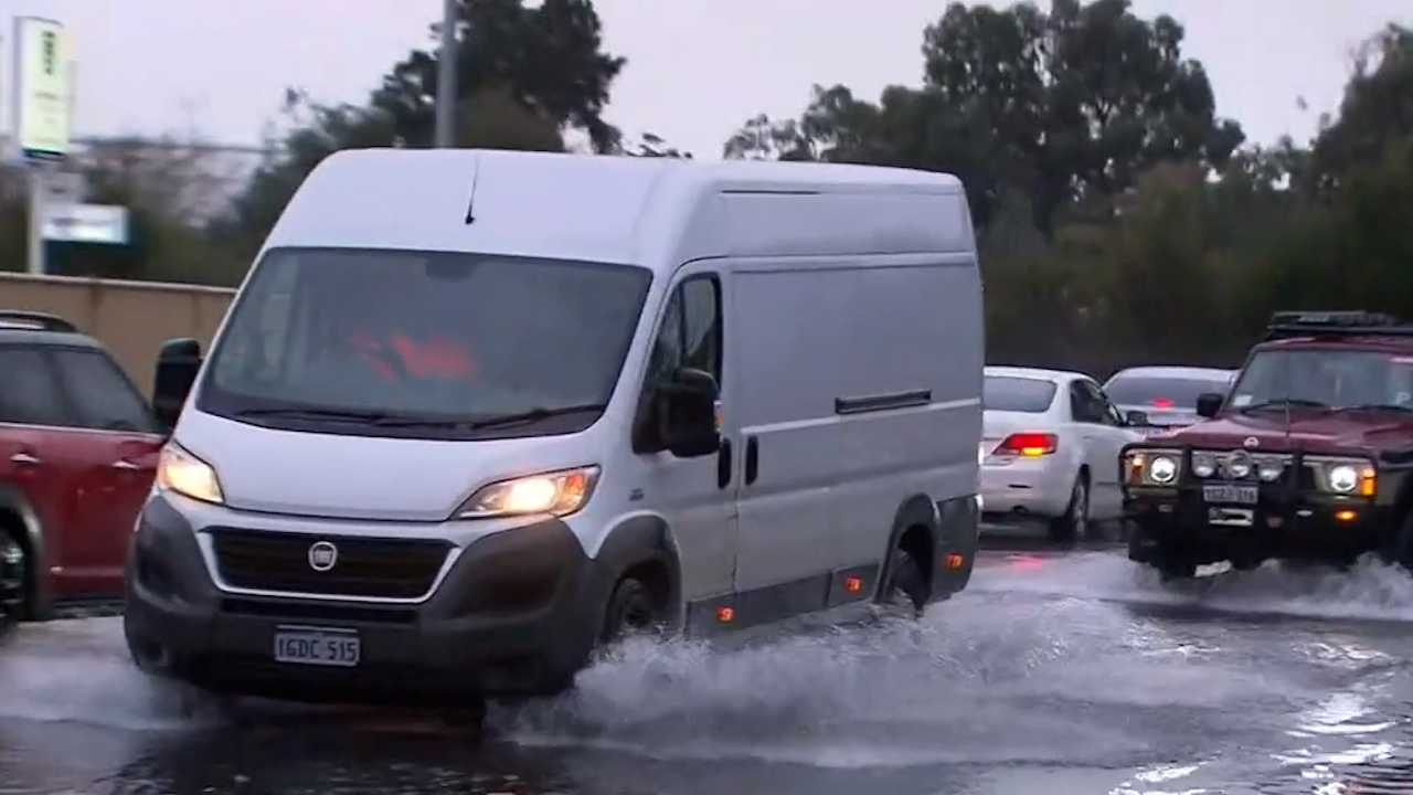
The potential damage zone could stretch more than 770km, from Jurien Bay to Albany with winds of more than 100km/h and rainfall of up to 50mm expected, alongside eight metre waves.
Perth has had the wettest start to July in 56 years, with 117mm already recorded, 82 per cent of the monthly average.
Elsewhere, South Australia, Victoria, NSW and parts of Queensland also remain wet after a stormy weekend, but the Tasman low which caused intense weather for the east coast has since moved on.
READ MORE: Perth braces for fifth monster storm in eight days
A trough crossing through South Australia, Western NSW, Victoria and Tasmania is going to bring light showers to those areas while the dry season in the country's north is continuing, bringing a bushfire threat with it.
Parts of the Northern Territory and Far North Queensland are seeing a broad high-pressure ridge directing light, south-easterly winds into the area, adding to an already extended dry season.
Weatherzone meteorologists say a very low humidity combined with hot temperatures have resulted in a Fire Weather Warning being issued for Darwin and Adelaide River as a result of the weather system.
from 9News https://ift.tt/3AUBK90
via IFTTT


0 Comments