
A streak of icy cold mornings is continuing in Australia's south and south-east as a high-pressure system lingers over South Australia, Victoria and parts of NSW.
While the weather system is resulting in minimal cloud in the skies, it is also bringing gusty winds in from the ocean and some showers across coastal regions.
Across Victoria, strong wind warnings are in place for the West Coast, Central Coast and Central Gippsland Coast while these will strengthen to strong gale warnings in Port Phillip, Western Port, West Coast, Central Coast, Central Gippsland Coast and East Gippsland Coast tomorrow.
LIVE UPDATES: All the latest on coronavirus in Australia and the world
There are also string coastal winds forecast for parts of NSW, including the Macquarie Coast, Hunter Coast, Sydney Coast, Illawarra Coast and Batemans Coast.
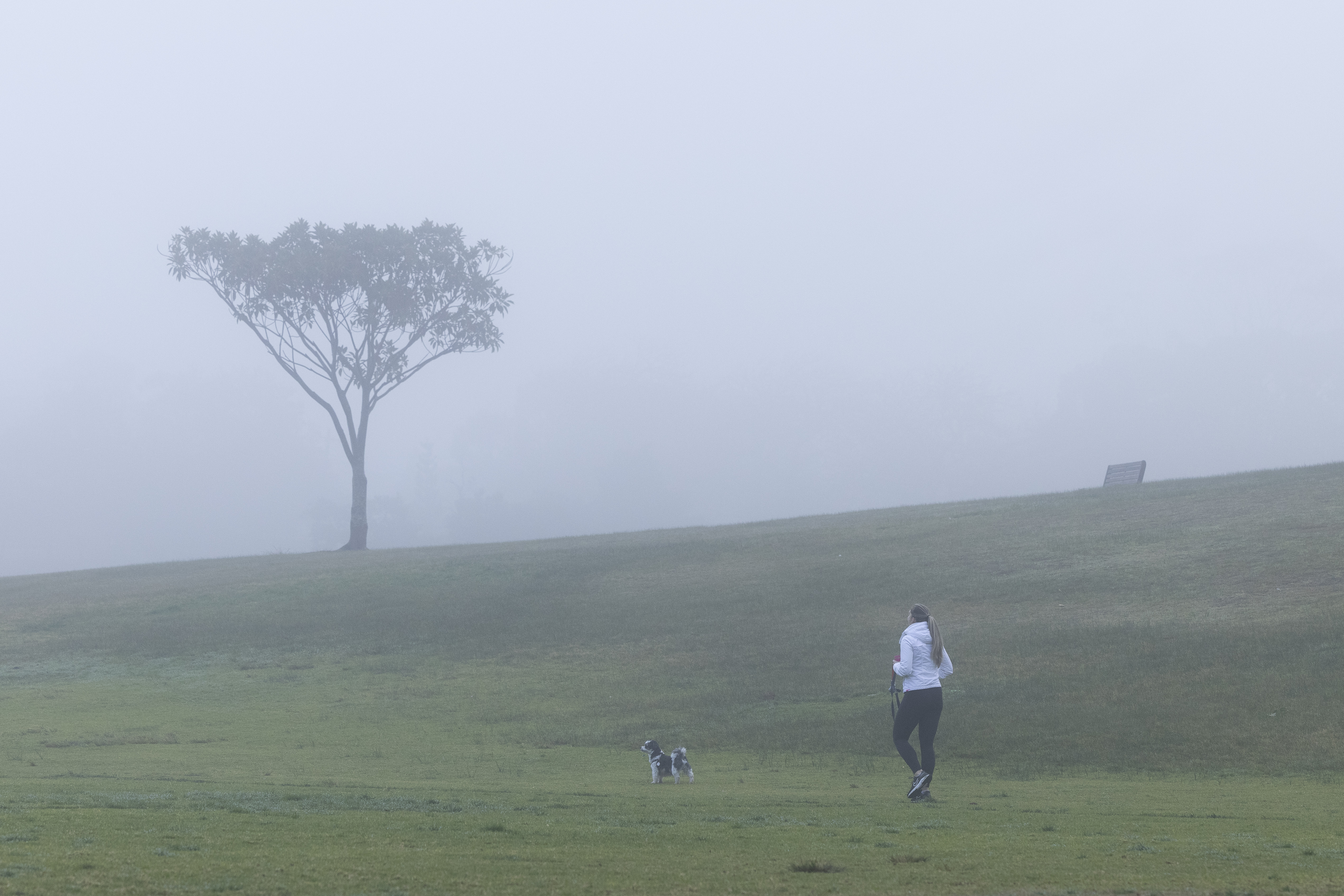
In South Australia, parts of the Adelaide Hills saw heavy fog this morning with road safety warnings in place for drivers headed into work.
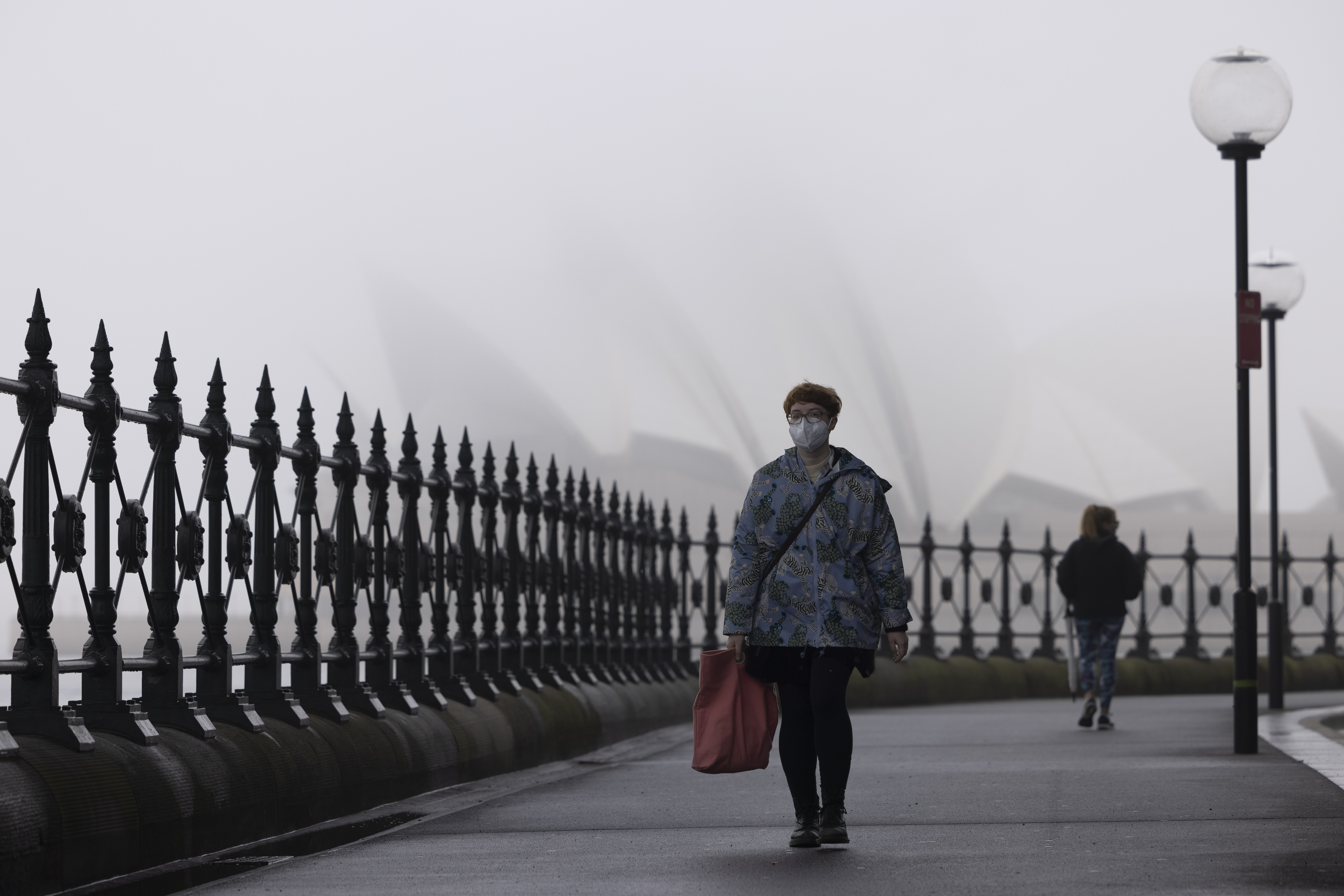
On the west coast, another fog warning is in place for Perth, with authorities warning motorists to drive to the conditions.
Western Australia's extreme weather is due to a trough crossing the south, also generating gusty winds and showers in areas still recovering from weeks of intense storms and flooding.
READ MORE: Extreme cold blast to slam Australia
In other parts of the country, the ACT and Tasmania are both cloudy today with tops no greater than 15C, while in Queensland there is a moderate flood warning for the Macintyre River and Weir River after heavy overnight showers in the area.
The top End's run of overly warm winter days is continuing with top temperatures of 33C in Darwin and surrounds.
from 9News https://ift.tt/3ezCtmy
via IFTTT


0 Comments