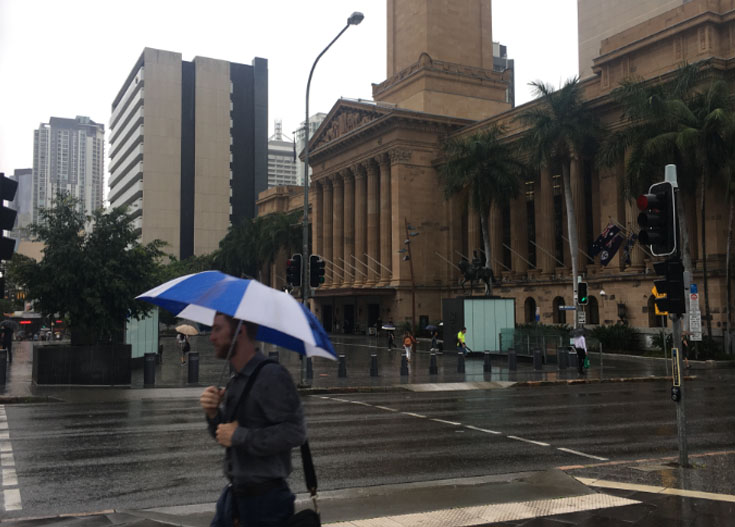
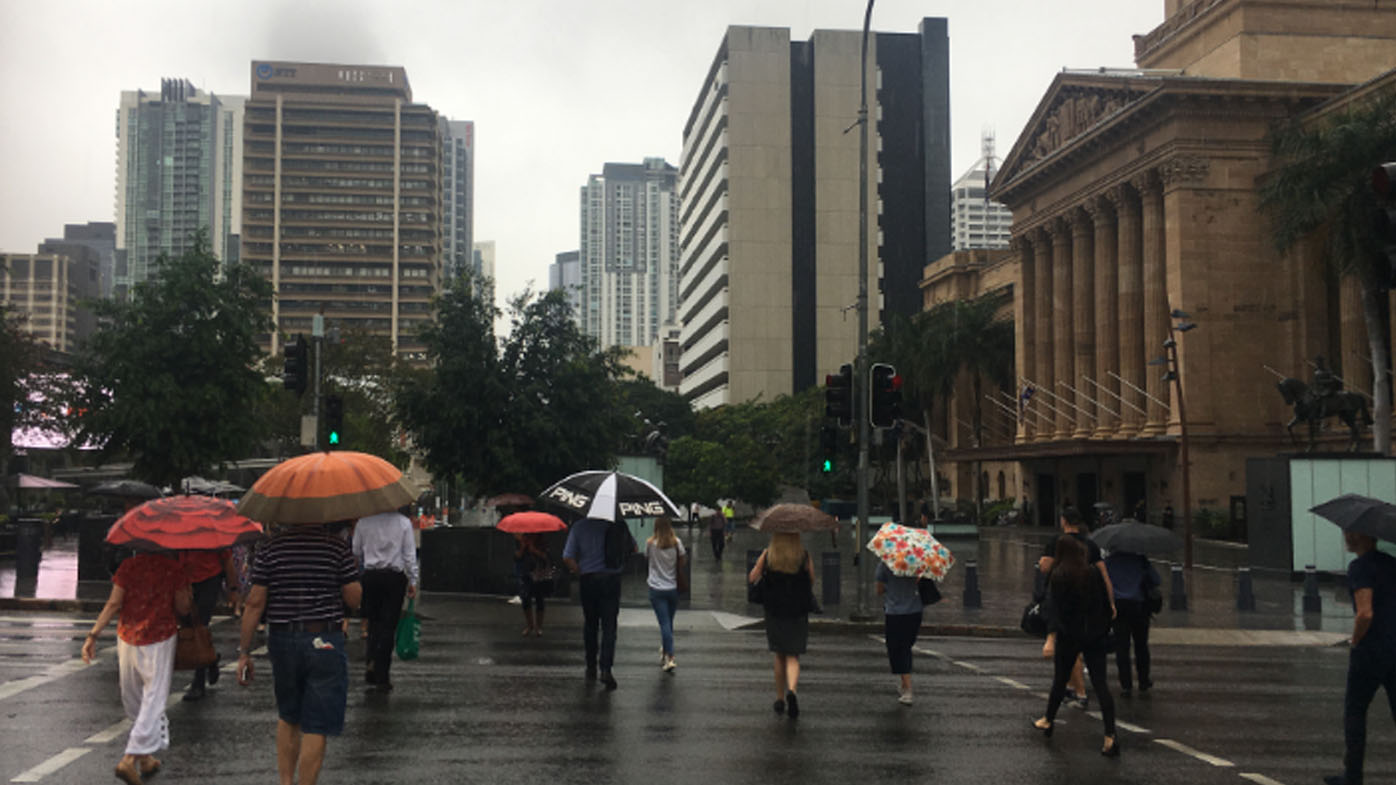
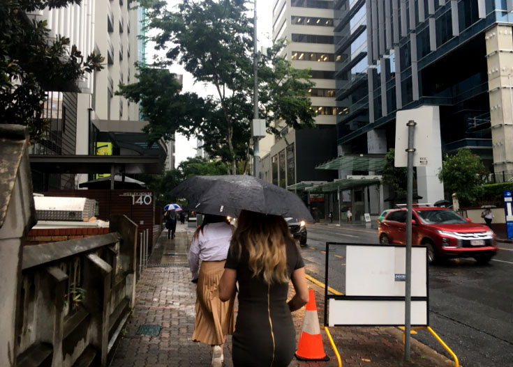
Flash flooding hit parts of Brisbane this morning amid warnings of thunderstorms and further heavy rainfall for south-east Queensland.
Water surged over the road in Didswith and Didsbury Streets in east Brisbane after other parts of the city copped a drenching.
Eagle Farm recorded 49mm and Banksia Point 65mm in one hour earlier today.

The deluge has also impacted roads.
The Royal Automobile Club Queensland said water is covering the Bruce Highway at Griffin and on Anzac Avenue in Rothwell.
Motorists are being warned to expect delays.
WeatherZone meteorologist Craig McIntosh said the deluge was caused by a slow moving low pressure system that formed north of Bribie Island about 8.30am.

"There is a lot of moisture over south-east Queensland that is leading to heavy rainfall while there is a convergence of winds from two systems."
Further south in NSW, a stream of tropical moisture interacting with a cold front and low pressure trough produced a broad band of rain and storms over the northern part of the state last night and into this morning.
Underneath a blanket of thick clouds, rain affected almost every district in the state.
https://twitter.com/weatherzone/status/1356392642414665731?ref_src=twsrc%5EtfwAt one stage, a long line of thunderstorms was stretching between the Victorian and Queensland borders. These state-wide storms produced rainfall totals of 20mm to 40 mm from Bombala in the south to Brewarrina in the north.
Mr McIntosh said further storms are expected later today.
The storm knocked out power to about 2000 homes in south-east Queensland this morning.
The area around Albany Creek just north of Brisbane was worst hit with about 1500 homes and businesses losing power.

Showers and thunderstorms will continue to affect eastern and northern NSW tomorrow, with drier weather returning to the west.
However, the respite will be short-lived, with more heavy rain and severe thunderstorms likely to spread over the state between Thursday and Saturday.
from 9News https://ift.tt/3cEZtQS
via IFTTT


0 Comments