
Severe thunderstorms are forecast to continue battering northeast Queensland while NSW is also set to be drenched.
Emergency crews have also received dozens of calls for help across Sydney as an intense storm struck.
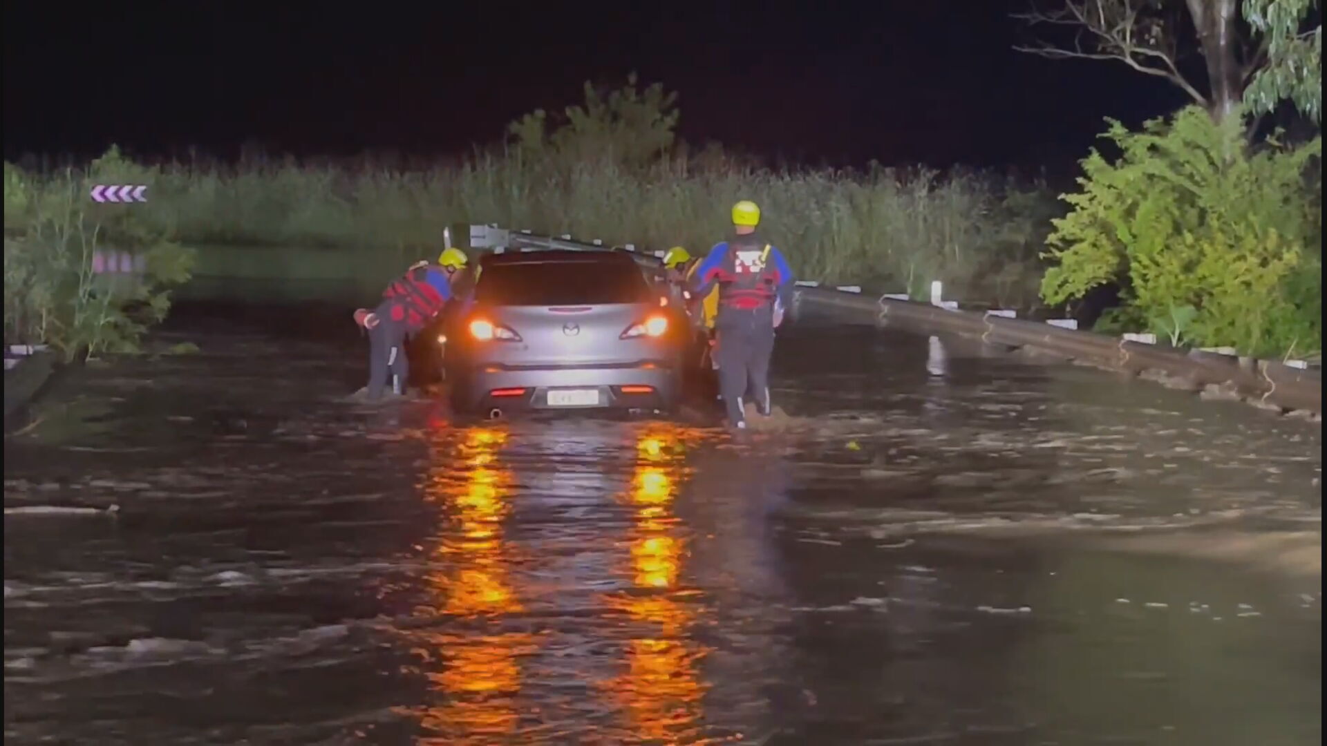
Widespread rainfall is predicted across an already-soaked NSW today. There is also a concern for renewed flooding in Gunnedah and Forbes, which has been inundated by recent floodwaters.
In Queensland, a deluge of heavy rainfall is set to hit Townsville, Georgetown, Springsure, Einasleigh and Rollingstone.
A major flood warning remains in place for the lower Macintyre River and Weir River.
READ MORE: Several UK-bound migrants die in English Channel off Calais
It comes after the state was hit with the heaviest November rainfall in decades.
The Bureau of Meteorology said 121 millimetres of rain fell in Brisbane in the past 24 hours.
The wet weather is expected to continue for the rest of summer due to a La Niña event occurring in the Pacific for a second consecutive year.
The BoM declared a La Niña has developed in the Pacific Ocean, leading to wetter than normal periods for eastern, northern and central parts of the nation.
La Niña often brings above-average rainfall, cloud cover and cooler temperatures.
Victoria
The state is also likely to have rainfall in the morning or afternoon, with temperatures reaching a cooler 17C.
Western Australia
Perth is set to have a sunny day with temperatures at a high of 32C.
South Australia
Adelaide is forecast to have a partly cloudy day with a slight chance of rain.
Temperatures are expected to reach around 22C.
Australian Capital Territory
Heavy rain and thunderstorms that may lead to flash flooding are set to hit the country's capital.
Northern Territory
A possible thunderstorm with heavy rainfall is forecast for the territory.
It's expected to arrive in the afternoon or evening.
Tasmania
Hobart is set to have a partly cloudy day with a possible chance of showers in the afternoon or early evening.
from 9News https://ift.tt/3p1agcK
via IFTTT


0 Comments