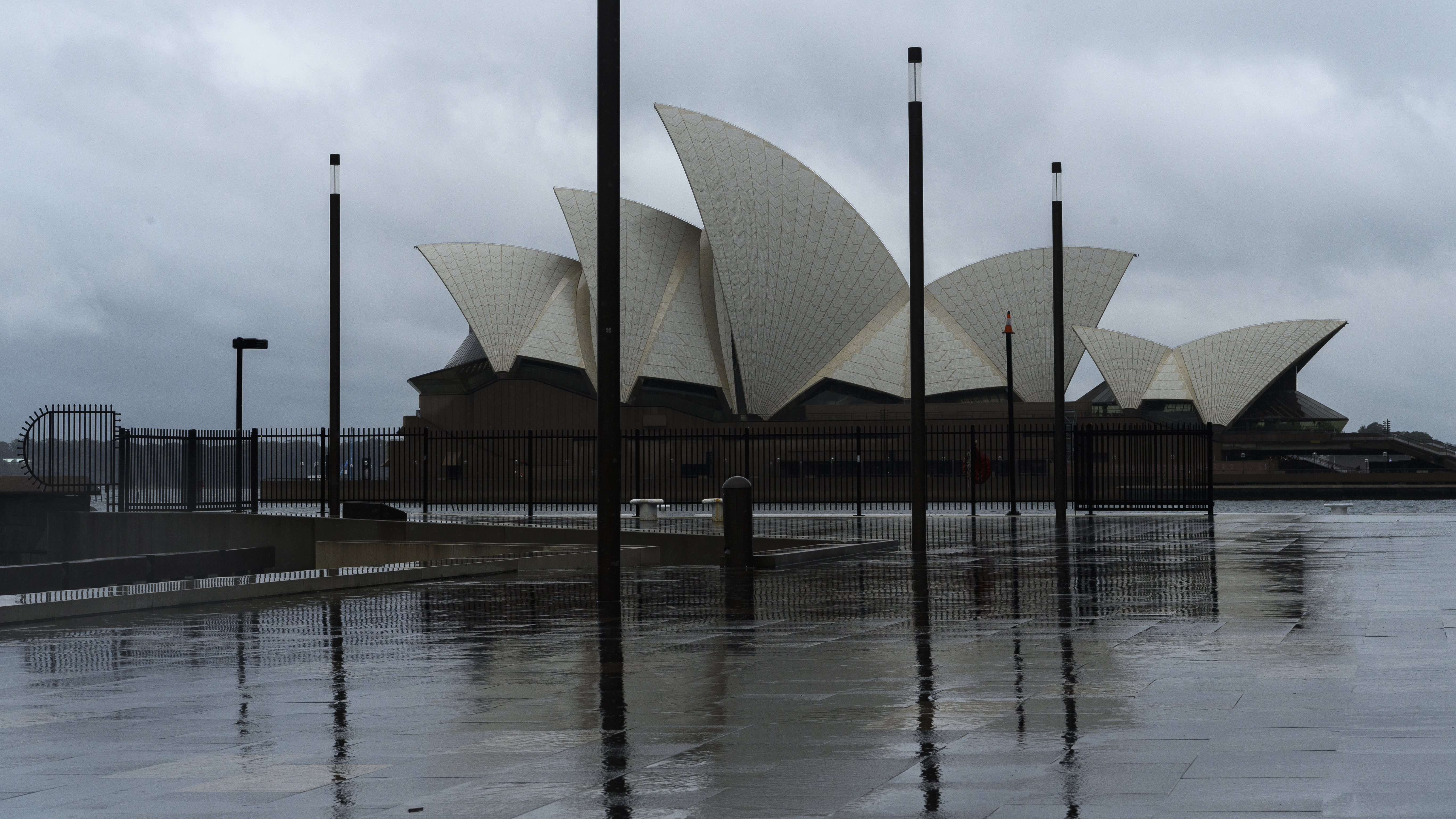
Parts of New South Wales could see a month's worth of rain today as the state prepares for an eight-day drenching.
Thunderstorms, flash flooding and heavy rainfall are forecast across the state into next week.
Today could be the wettest day in parts of western NSW since last September.
READ MORE: Eleven winners of Oz Lotto's $50 million jackpot

The heavy rainfall could also lead to flash flooding in parts of NSW.
"Due to high levels of moisture in the atmosphere there is an increased risk of heavy rainfall that will result in flash flooding and may result in some roads to become blocked and inaccessible," meteorologist Hugh McDowell said.
"Wednesday and Thursday will see the potential for severe thunderstorms through the west of the state."
READ MORE: 'Rare and magical': Waterfalls stream down Uluru
Showers are expected to ease on the east coast on Friday but further rain is forecast on Sunday and Monday.
No storm warnings are yet in place across the state but the Bureau of Meteorology has issued a minor flood warning for the Lachlan River.
Sydney, however, is set for a mostly sunny day today with a top of 25C.
There is a greater chance of rain in the capital from tomorrow and over the weekend.
Melbourne is set for a top of 25C today, with rain developing.
Rain is also on the cards for Adelaide (top of 23C) and Darwin (top of 36C), with a possible storm for the NT capital.
Brisbane will see a top of 25C and a cloudy sky.
Perth will also be cloudy, with a top of 23C.
There's potential for rain in Hobart, which is set for a top of 25C.
Canberra is also heading for a 25C cap, with a cloudy sky.
from 9News https://ift.tt/3k04iqU
via IFTTT


0 Comments