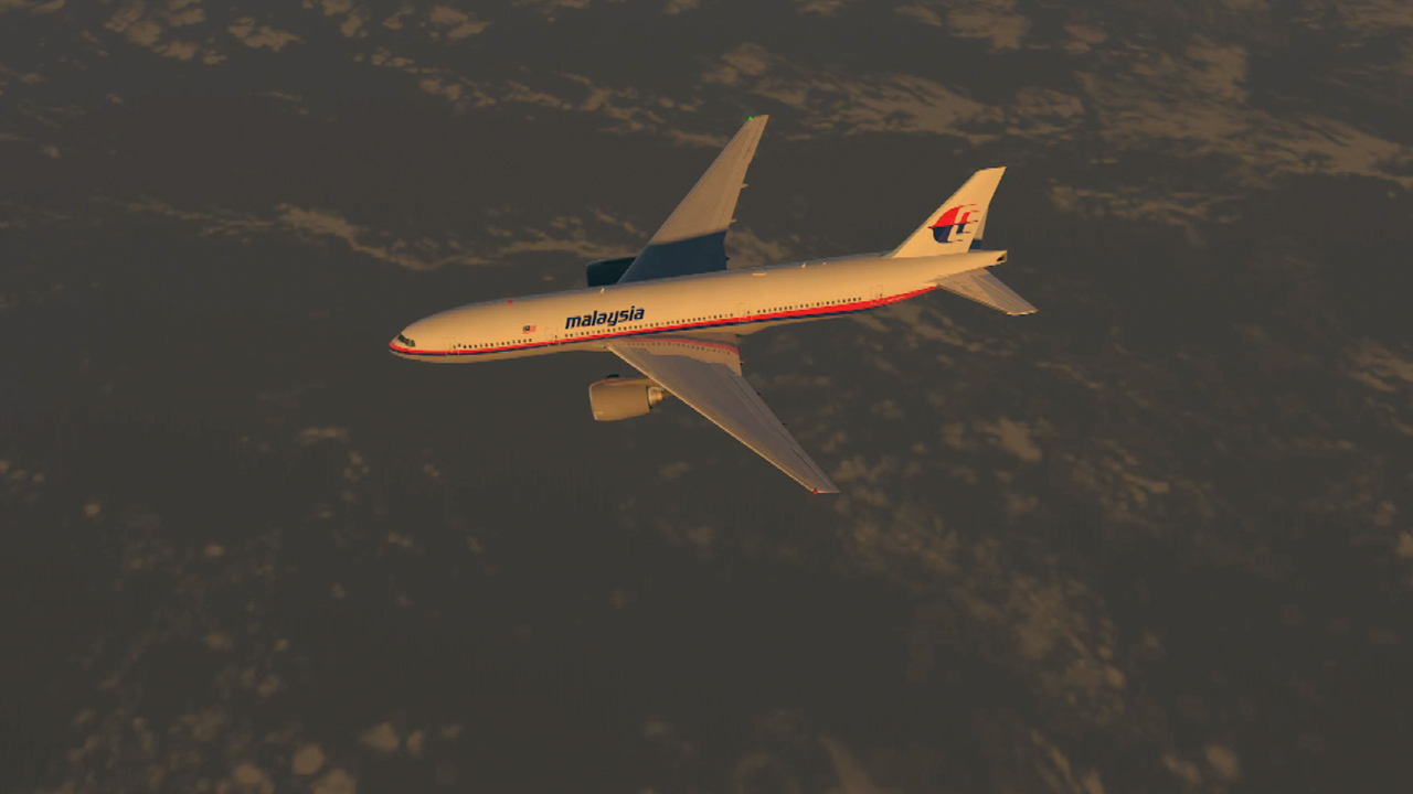
A British aerospace engineer claims to have pinpointed the precise coordinates where Malaysia Airlines Flight 370 crashed and dropped to the bottom of the southern Indian Ocean, injecting new hope one of aviation's great mysteries might finally be solved.
According to revolutionary aviation tracking technology used by Richard Godfrey, MH370 hit the ocean 1933km west of Perth, at 33.177°S 95.300°E, with the plane falling a depth of 4000 metres to the floor below.
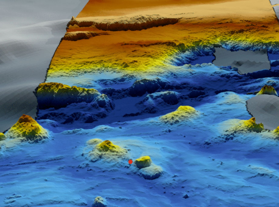
"The prime crash location is at the foot of the Broken Ridge in an area with difficult underwater terrain," Mr Godfrey's report, released today, claimed.
READ MORE: Mystery and tragedy: How MH370 and MH17 changed the way we think about air travel
"There are mountainous outcrops and cliffs, an underwater volcano and a canyon."
Mr Godfrey's research, which he claims will lead to the discovery of MH370 next year, is based on Global Detection and Tracking of Any Aircraft Anywhere (GDTAAA) software and Weak Signal Propagation Reporter (WSPR) data.
WSPR can be best visualised as laser beams which criss-cross the world, with any disturbances logged in a database.
According to Mr Godfrey's research, GDTAAA combined with WSPR data provided hundreds of trackable radio signals every two minutes during the flight of the Boeing 777, allowing him to zero in on a critical search zone.
In the report, the crash location is even marked with a red dot on scans of the Indian Ocean floor.
"This data supports an overwhelming case for a renewed search in the prime crash location," the report stated.
"There are a number of parties willing to use AUVs (automated underwater vehicles) to search the location I identify," Mr Godfrey wrote in comments on his website, following his release of the report.
He also predicted MH370 would be found in the second half of 2022 if a meticulous search of 40 nautical mile zone is carried out.
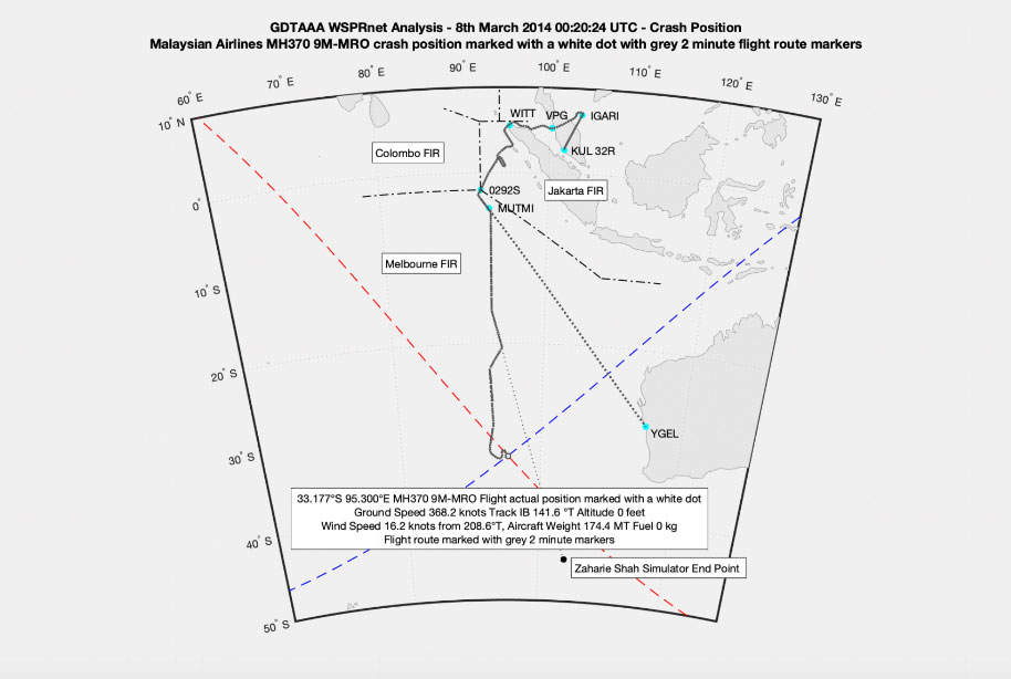
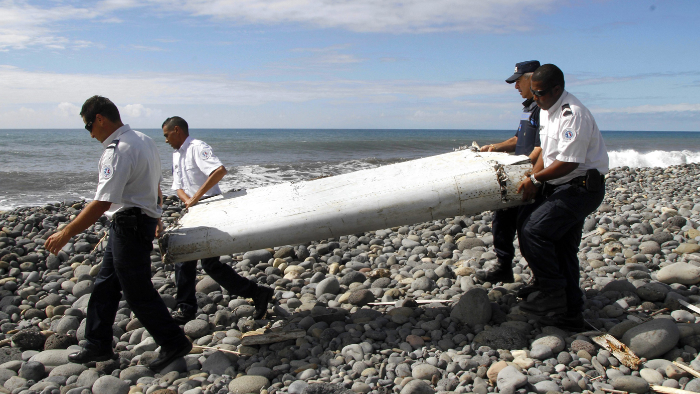
The proposed location of MH370 matched oceanographic drift analysis of 33 debris items, likely from the missing plane, which were later recovered in Mauritius, Madagascar, Tanzania and South Africa over the years, the report said.
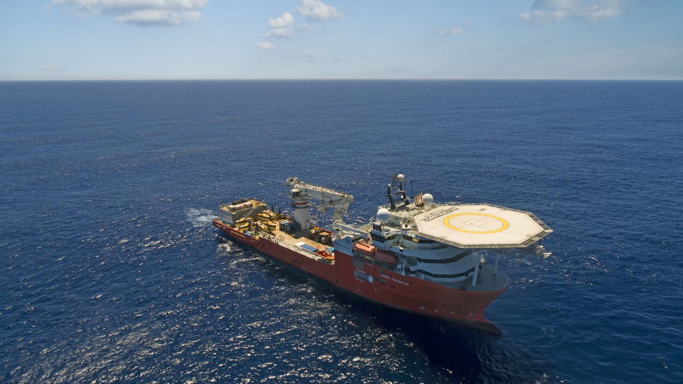
A failed 2018 search led by Ocean Infinity came within 28 kilometres of the location of the wreckage highlighted in the report.
Ocean Infinity covered more than 112,000 square kilometres of remote ocean floor over a three month period.
MH370's location was not included in the original Australian Transport Safety Bureau search area in 2015, the report said, but it was situated inside an extended ATSB search zone in 2016, which covered 120,000 square kilometres.
READ MORE: Secret vault could be key to MH370 mystery
Australian Peter Foley, who led the $200 million ATSB search, today told 9news.com.au he hoped Mr Godfrey's report could lead to a breakthrough.
"(I) applaud Richard Godfrey for his ongoing endeavours with WSPR and express my fervent desire to see another search mounted which may lead to answers finally for the 239 families who lost loved ones on that flight," he said.
In a 2018 Senate committee hearing, Mr Foley said satellite transmission analysis of the flight's final moments showed MH370 was in an accelerating descent at the end.
Debris from the plane's interior which later washed up on the west coast of the Indian Ocean suggested significant energy on impact, he said.
Australia, Malaysia and China agreed in 2016 that an official search would only resume if the three countries had credible evidence that identified a specific location for the wreckage.
Flight 370 vanished on March 8, 2014, while flying from Kuala Lumpur, Malaysia, to Beijing with 239 people aboard.
The original search focused on the South China Sea before analysis revealed that the plane had made an unexpected turn west and then south.
9news.com.au has contracted ATSB for comment.
from 9News https://ift.tt/3D3U4ww
via IFTTT


0 Comments