
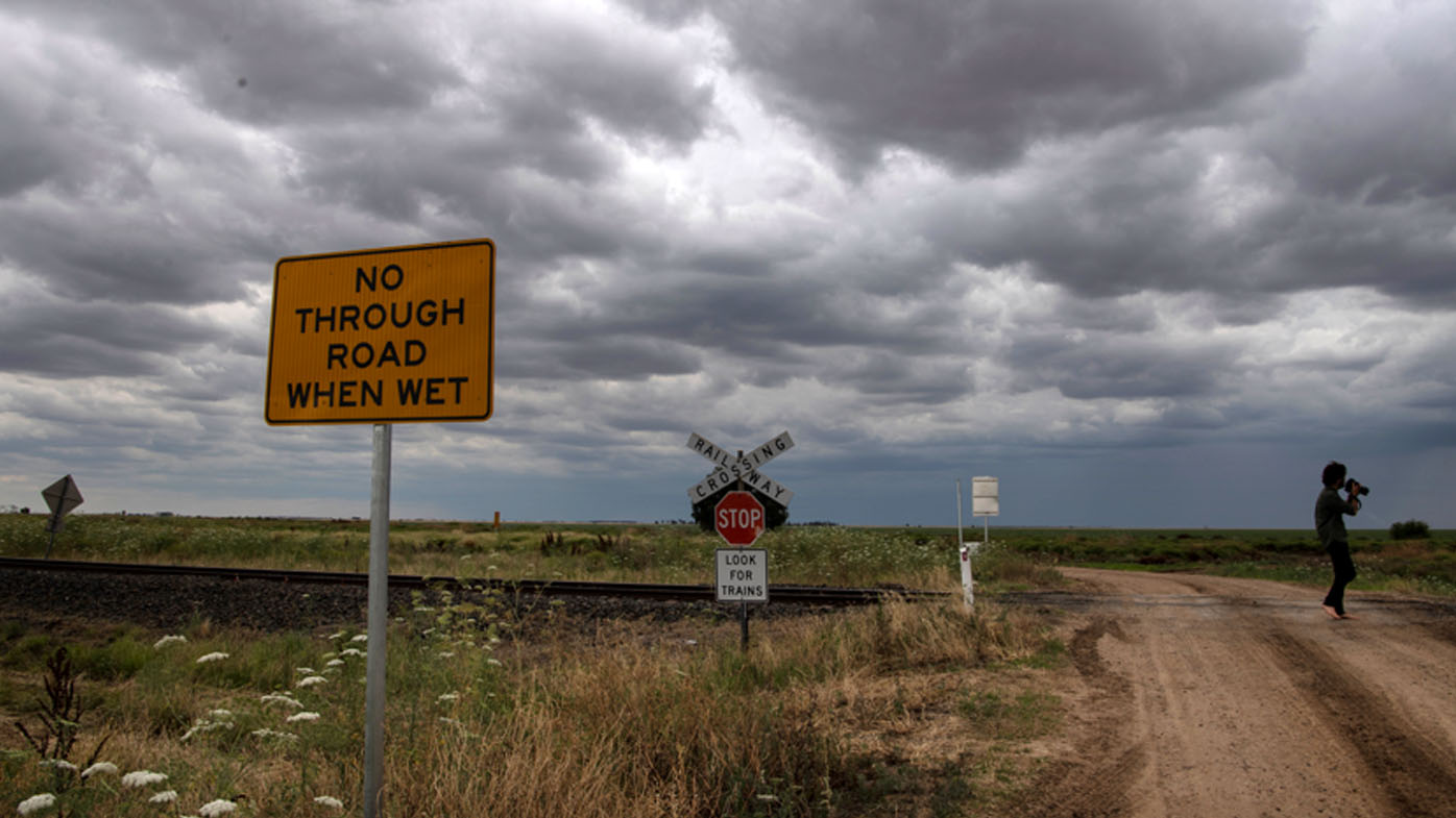
Australia's east coast is heading for a soaking this week, with warnings of flash flooding and high winds in some parts.
Millions of people across Queensland, New South Wales and Victoria this morning are bracing for a week of heavy rain.
This stormy weather has been brought by a broad low-pressure trough which slowly crossed the region over south-east Australia during the weekend.
READ MORE: Search called off for 57-year old attacked by shark
https://twitter.com/BOM_Qld/status/1457297150396747778?ref_src=twsrc%5EtfwThis system has now pushed further east and is contracting into Queensland and northern New South Wales.
Another round of wild weather is on the cards later this week as a further trough deepens over eastern Australia from Wednesday onwards.
The Bureau of Meteorology is expected to announce a La Niña tomorrow, meaning there will be a wetter than average summer.
Queensland
South East Queensland is bracing for a wet start to the week.
A broad trough system over western and interior Queensland will move slowly eastward across central and south-eastern districts, leading to widespread showers and thunderstorms across much of the state over the next few days.
There is a risk of severe storms for south-eastern parts of the state.
Brisbane is expected to receive a downpour of up to 35mm today, with a top temperature of 28C.
There are strong wind warnings in place for waters off the Gold Coast and Sunshine Coast.
A flood alert remains in place for the Diamantina River area in Central West Queensland.
READ MORE: COVID-19 vaccine booster shots to roll out nationwide from today
New South Wales
A low pressure trough continues to track slowly towards the northern coastline while weakening this morning.
There will be heavy showers and thunderstorms in the east, possibly severe about the northeast of the state and an area along the central and northern ranges.
https://twitter.com/BOM_au/status/1457099185795342341?ref_src=twsrc%5EtfwThere are strong wind warnings for waters off Byron Bay, Coffs Harbour and Eden.
Sydney is headed for showers and a top temperature of 25C.
Victoria
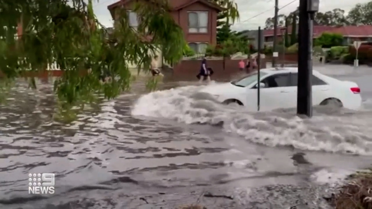
After a weekend of heavy rain and flash flooding, Victoria is headed for calmer conditions today.
There is a chance of a light shower on and south of the ranges, mostly clearing for the afternoon. Isolated showers and possible thunderstorms in the morning and afternoon in the northeast of the state.
A new low trough will build over eastern Victoria later tomorrow and bring further heavy rain across the state.
Melbourne is forecast to have a cool day with a top temperature of 17C.
Flash flooding wreaked havoc across Melbourne's south-eastern suburbs on Saturday. There were more than 300 calls made to the SES, including 50 in the Springvale, Mulgrave and Keysborough area.
from 9News https://ift.tt/3wqtj3N
via IFTTT


0 Comments