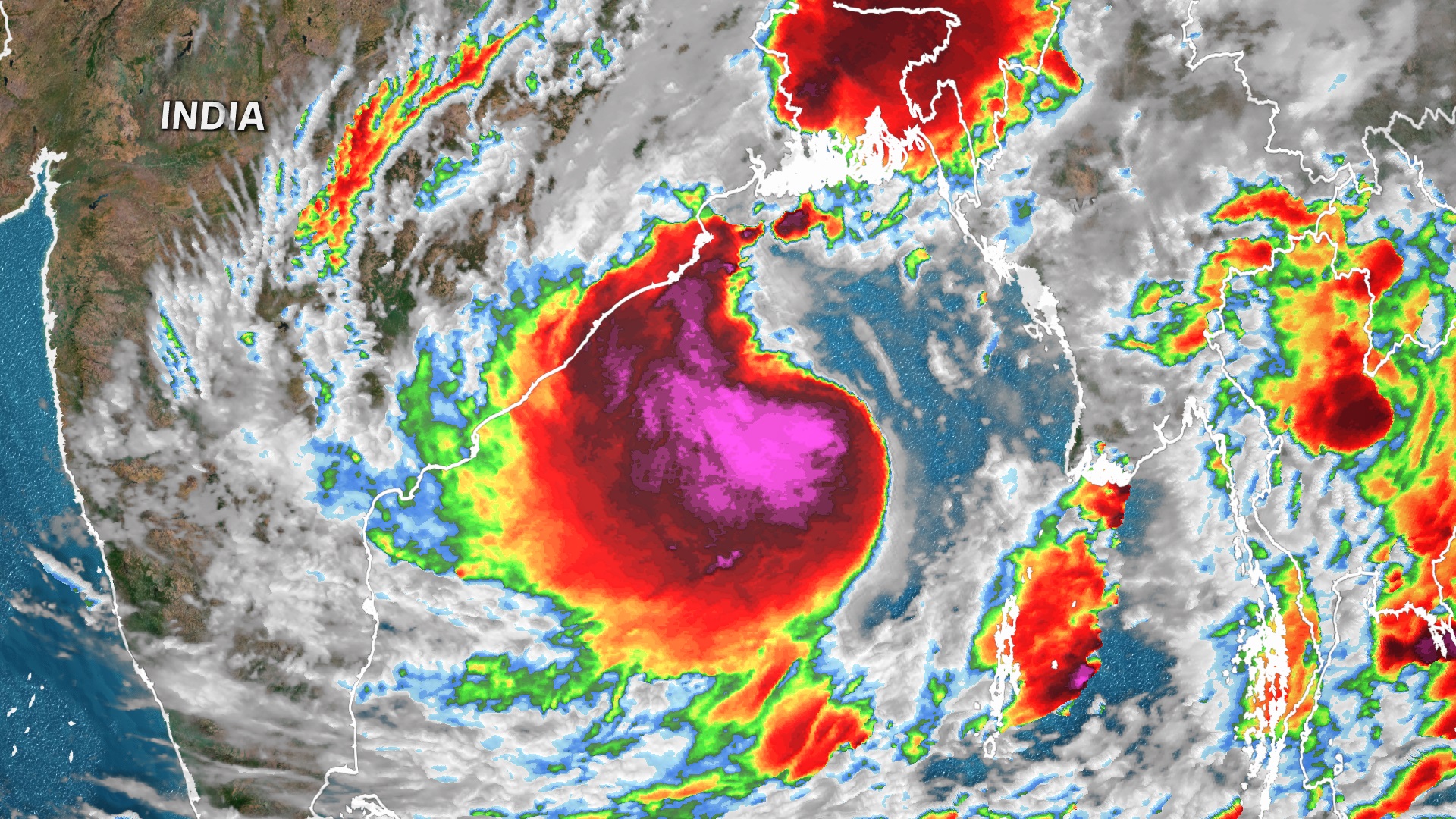
Another tropical cyclone, this one named Yaas, will make landfall in India in less than 24 hours, this time in the northeastern part of the country.
Last week, Tropical Cyclone Tauktae hit northwestern India, bringing flooding rains and storm surge to areas including Mumbai. Tauktae was the strongest storm to ever make landfall on the western coast of India, killing over 100 people.
Ahead of Yaas, West Bengal intends to evacuate at least one million people, chief minister of West Bengal, Mamata Banerjee, said earlier this week at a news conference.

READ MORE: Powerful cyclone hits land in India amid deadly virus surge
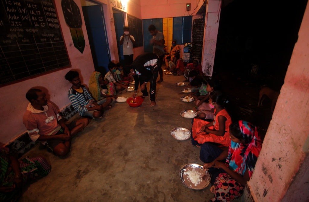
At least 19,000 people had been evacuated as of Monday local time from low-lying areas in India's Odisha state, its additional relief commissioner Kamal Mishra said.
Yaas is taking aim as India is still in the throes of a devastating COVID-19 wave, though the number of reported daily cases is declining.
In Odisha, 6600 temporary evacuation centres have been set up, in addition to the existing 890 permanent shelters, to allow for adequate social distancing, Mr Mishra said. Four thousand relief shelters have been set up in West Bengal, Ms Banerjee said.
At least 45 teams of the National Disaster Response Force (NDRF) have been deployed to West Bengal, and 52 teams have been deployed to Odisha, tweets from NDRF director general Satya Pradhan state.
Yaas continues to strengthen
Yaas has intensified over the past day over the Bay of Bengal and further intensification is likely.
The very warm water will fuel more intensification before landfall. Sea surface temperatures are estimated to be as warm as 34C in the northern Bay of Bengal.
The storm is also moving into an environment of weaker wind shear, which will allow it to organize and strengthen more. When wind shear is high, it often prevents a cyclone from intensifying and can sometimes cause it to dissipate.

Yaas is expected to make landfall between Paradip and Sagar islands on the north Odisha to West Bengal coasts by midday Wednesday local time. Winds are currently at 120km/h and should remain around this intensity near the time of landfall.
Heavy rainfall could cause flash flooding in northeastern India, with a widespread 150-250mm of rain and isolated totals over 250mm likely. Some of the outer rain bands on the eastern side of the storm may lead to some flooding across portions of Bangladesh.
READ MORE: The 'frightening' disease piggybacking off COVID-19 in India
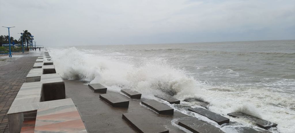
There will also be storm surge, with water inundations of two to four metres forecast along coastal sections of Odisha and Kolkata regions, according to the India Meteorological Department.
"The northern Bay of Bengal is extremely prone to storm surge flooding, in part due to its triangular shape at the head of the bay that funnels water into Bangladesh and northeastern India," CNN Meteorologist Pedram Javaheri said.
"Of the world's top 35 deadliest cyclones, 26 have occurred here."

Cyclones and COVID-19 in India
Last year, Cyclone Amphan made landfall near Kolkata with winds at 165km/hr. Amphan was one of the most intense storms on record in the Indian Ocean. Although it weakened before making landfall, it still killed dozens across India and Bangladesh.
About 6000 daily coronavirus cases were recorded in India around the time of Amphan's landfall in May 2020. The nation yesterday reported more than 196,000 new cases.
"This cyclone spells double trouble for millions of people in India as there is no respite from COVID-19," said Udaya Regmi, South Asia head of delegation for the International Federation of Red Cross and Red Crescent Societies.
READ MORE: Insurance costs skyrocket following string of natural disasters
"The country is being slammed by a second major cyclone in two weeks and hitting areas where COVID infections and deaths have been at record high."
About 90 cyclones with winds of at least 120km/hr have hit northeastern India or western Bangladesh. Tropical cyclones can form year-round in the North Indian Ocean but are more common in the spring ahead of monsoon season.
"Over the past 20 years, there have been only three years when no cyclones were observed in the pre-monsoon season (2005, 2011 and 2012)," Mr Javaheri said.
from 9News https://ift.tt/34hpGzF
via IFTTT


0 Comments