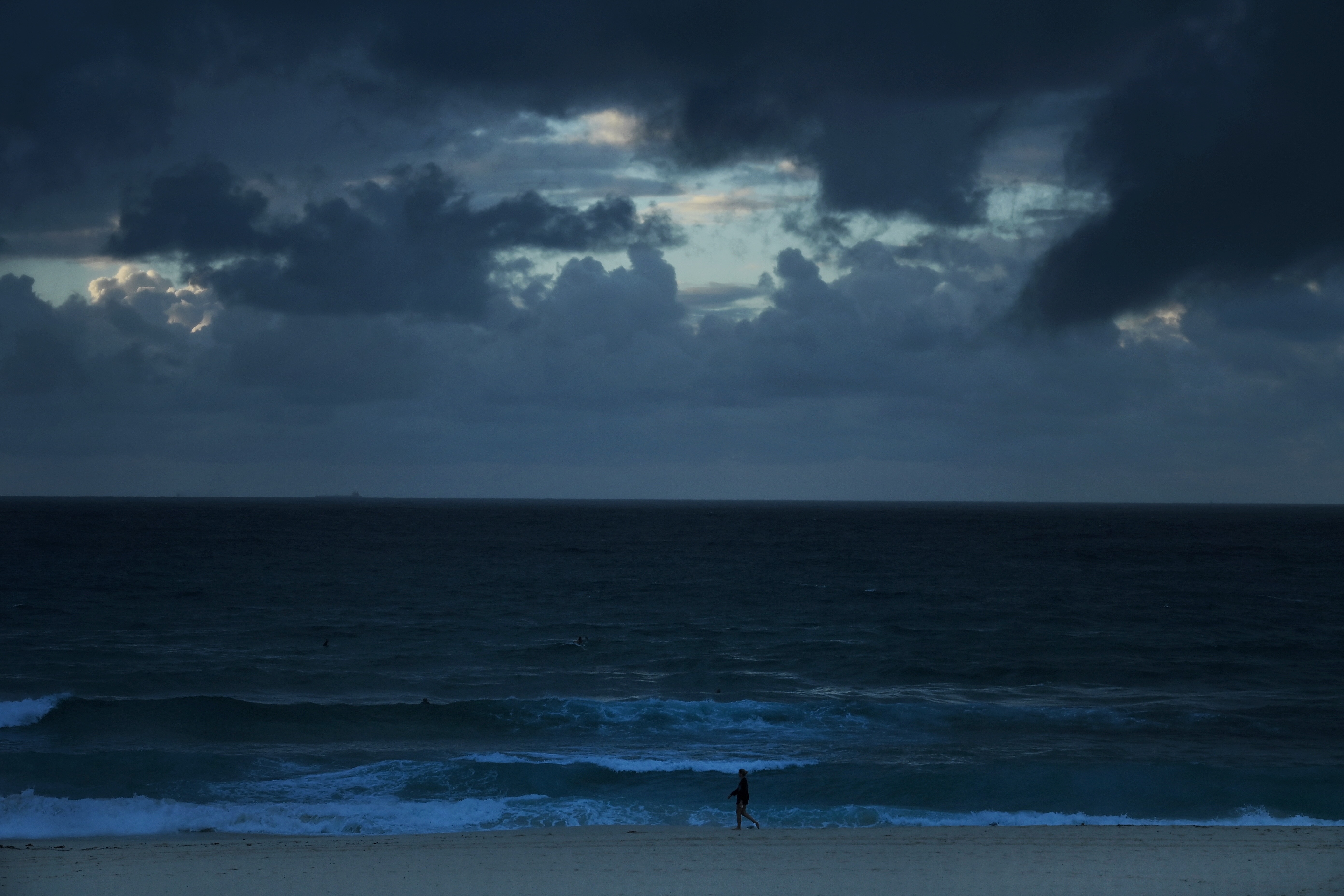
La Niña has officially come to an end after six months of wet and wild weather around Australia.
The weather system was declared in late September 2020 and has contributed to above-average rain over large parts of the country throughout spring and summer.
Summer 2020–21 was the wettest since 2016–17, and December 2020 was the third wettest December since national records began in 1900.
READ MORE: What the weather is doing over the Easter long weekend in your State or Territory
 https://twitter.com/NSWRFS/status/1377063094111772675
Rainfall for the last three months was 29 per cent above average Australia-wide.
The end of La Niña has coincided with the end of the NSW bushfire season, which as has been one of the wettest on record.
While the increase in rain reduced the fire risk, it also contributed to an increased chance of tropical cyclones and flooding.
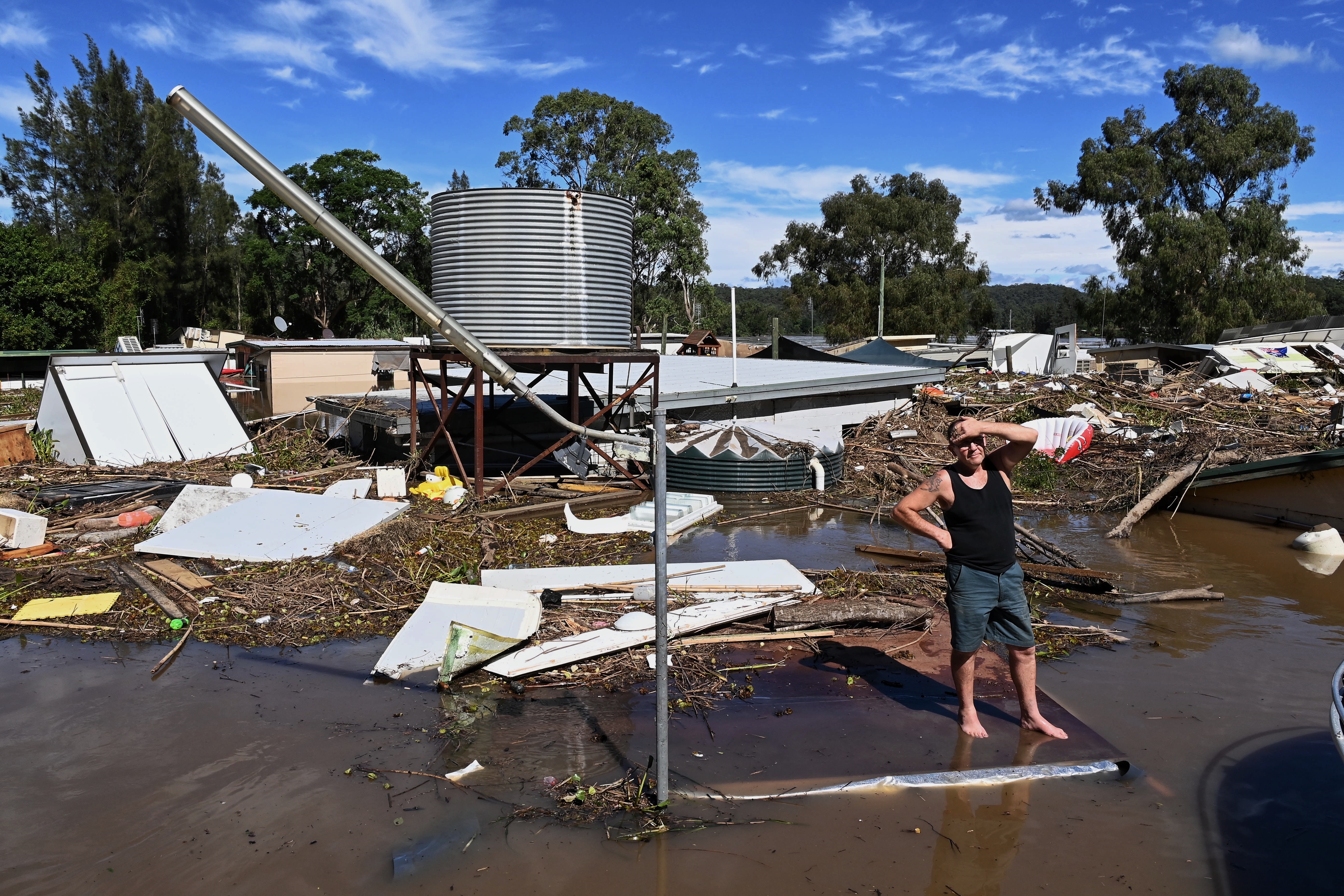
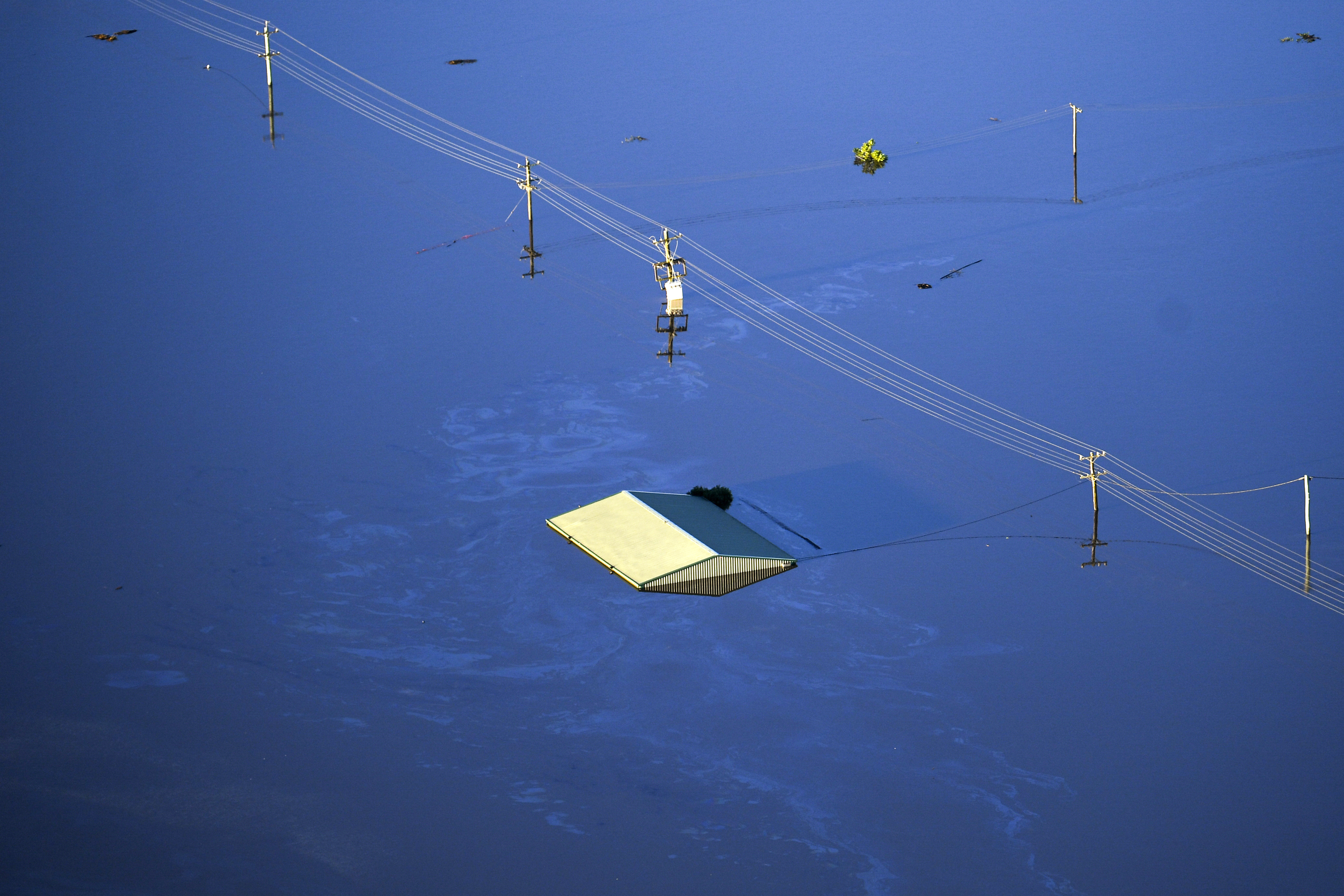
Australia's east coast is still recovering from a major flood disaster which devastated Queensland and New South Wales in recent weeks with some locations recording more than 800mm in just a few days.
Four named tropical cyclones occurred within the Australian region during summer 2020–21, with tropical cyclone Imogen causing devastation over the Queensland Gulf Country on January 3.
READ MORE: Trail of destruction facing NSW flood victims

Imogen then combined with a coastal trough and low, resulting in widespread rainfall across northern Queensland with several stations observing their highest daily rainfall on record for summer.
Four significant tropical lows also brought heavy rain and some flooding to parts of northern Australia, including the Kimberley region in January and Gascoyne and Pilbara regions in early February with a number of stations in the NT recording their highest daily rainfall on record for summer.
Senior climatologist Dr Naomi Benger from the Bureau of Meteorology said it's important to remember that even though the La Niña is over, there's always still the possibility of significant rainfall.
"We're forecasting above-average rainfall to continue into April for northern parts of Australia," she said.

Dr Benger said as La Niña recedes, secondary drivers of weather, such as the Madden–Julian Oscillation, will begin to play a larger role in influencing rainfall.
"The Madden-Julian Oscillation moving through the tropics is expected to increase cloudiness and rainfall in far northern Australia over the next week or two. This also brings an increased risk of tropical low or tropical cyclone activity."
This atmospheric factor will be a likely driver in above-average rainfall and potential tropical activity in the first few weeks of April across far-northern Australia, even as early as the Easter long weekend.
Dr Benger encouraged people to remain vigilant when extreme weather is forecast, including monitoring the Bureau's warnings for information relevant to them.
from 9News https://ift.tt/31xUjiX
via IFTTT


0 Comments