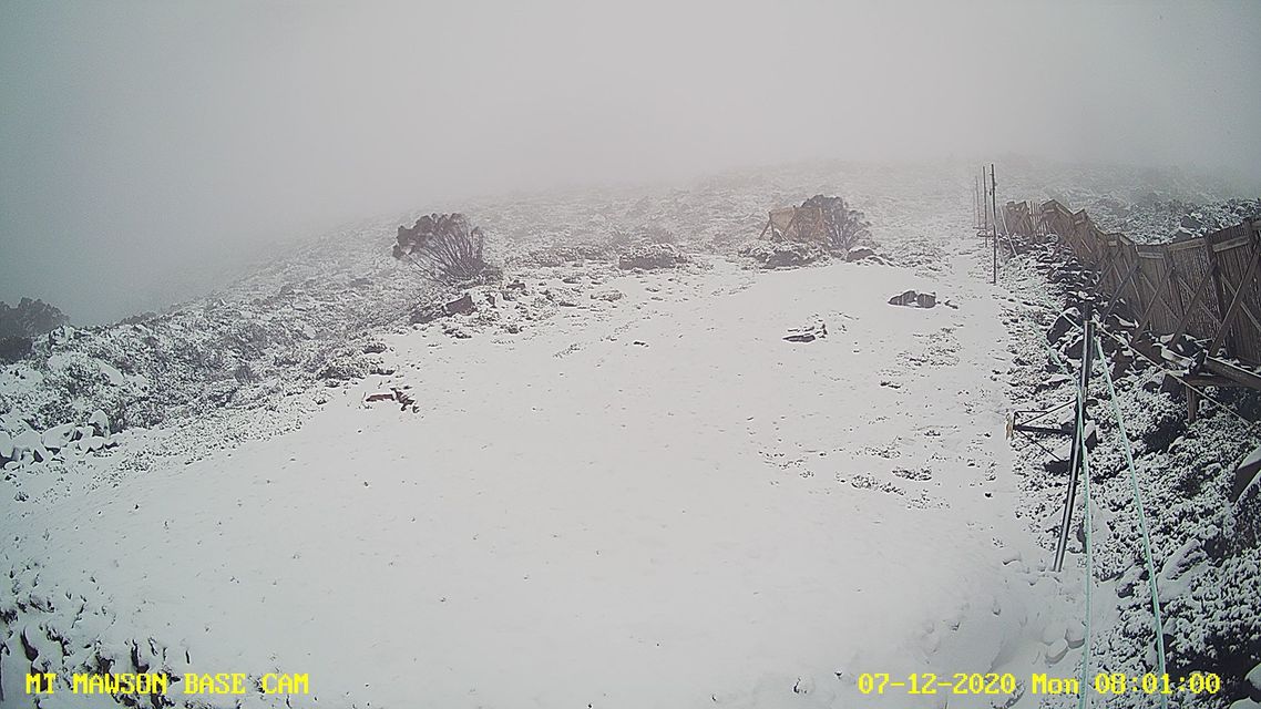
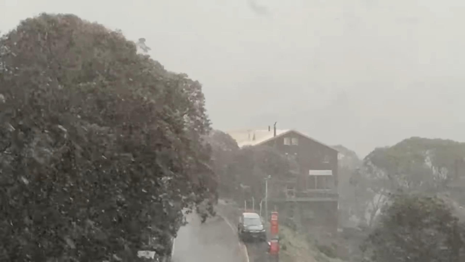
Some parts of Australia could be on track for a white Christmas as an cold change brings snow to alpine regions of NSW, Victoria and Tasmania.
Thredbo received a dusting of the white stuff overnight, while ski resorts in Falls Creek were blanketed in snow yesterday.
IN PICTURES: Fire, snow and floods: The weather extremes of 2020
https://twitter.com/fallsaustralia/status/1335895439934025728Synoptic charts show snow above 1400 metres in NSW, 1100 metres in Victoria and as low as 800 metres in Tasmania.
There has now been three snowfalls in the first nine days of summer for Tasmania – after an extremely warm spring which the maximum temperature statewide was a degree above average.
The reason for the cold outbreak can be seen clearly on this morning's synoptic chart, which shows a cold southwesterly airstream in the wake of a cold front, directed by a low pressure system centred well south of Tassie.
READ MORE: Fraser Island residents preparing to evacuate as fire grips tourist site
 https://twitter.com/BOM_Tas/status/1335831797452709889
The icy blast is extending further north, bringing snow to Victoria's alpine regions and causing temperatures around the state to plummet below average.
A cool and soggy morning thanks to continuing showers overnight, heaviest to Melbourne's east.
Minimum temperatures are as low as 5C-8C inland and 8C-10C about the coast.
After a hot weekend, temperatures in NSW have fallen significantly today with many places around the state reaching 5C below the December average.
from 9News https://ift.tt/36Rn65G
via IFTTT


0 Comments