

A severe thunderstorm warning for large hail, damaging winds and heavy rain has been issued for parts of south-east Queensland.
A damaging cell has been detected on the radar, with residents in the Southern Downs, Sunshine Coast, Brisbane City and Moreton Bay Council Areas.
D'Aguilar, in the Moreton Bay Region, has been one of the worst hit areas so far, with hail battering cars and homes.
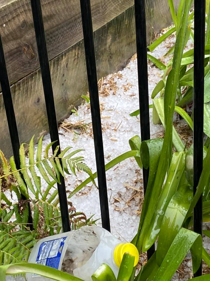

The Bureau of Meterology is warning severe thunderstorms will be possible across the south-east throughout the afternoon.
"We are looking at the potential for heavy to intense rainfall, destructive wind gusts are a chance as well as large hail," meteorologist James Thompson said.
"We are in December and it is a stormy month, so we do ask people to keep an eye on the warnings today."
A more general severe thunderstorm warning is also current for parts of the Central Highlands and Coalfields, Wide Bay and Burnett, Maranoa and Warrego, Darling Downs and Granite Belt and Southeast Coast districts.
https://twitter.com/BOM_Qld/status/1335781682771845120The thunderstorms come after days of hot weather and an extremely warm night in the south-east.
The Brisbane Valley region recorded temperatures of up to 26 degrees overnight, making it the hottest evening since January this year.
"The humidity is the reason we've seen these really warm overnight temperatures," Mr Thompson said.
"We're going to see the warm air stick around until tomorrow, so we could see another warm night tonight."
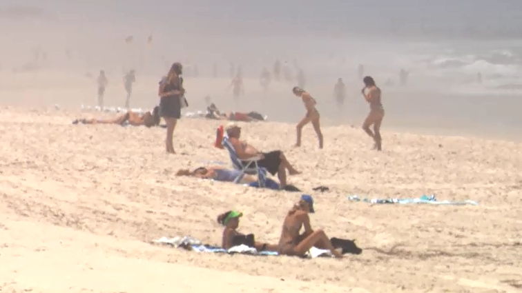
Brisbane is forecast to hit the same maximum as Cairns today, with temperatures set to climb to 34C.
Ipswich is expected to hit 38C.
The heatwave conditions are expected to hang around until Wednesday, when a cool change is predicted to move up the coast.
from 9News https://ift.tt/2L8x9L3
via IFTTT


0 Comments