
People around NSW have woken up snow this morning as an arctic blast crosses south-east of the country.
Several states will shiver through the weekend as a large mass of icy air moving from Antarctica is set to bring a rare "thundersnow" event to Australia's south this weekend.
Have any weather pictures or videos you'd like to share? Send them to 9News.
 https://twitter.com/fourfries/status/1296928813348057088
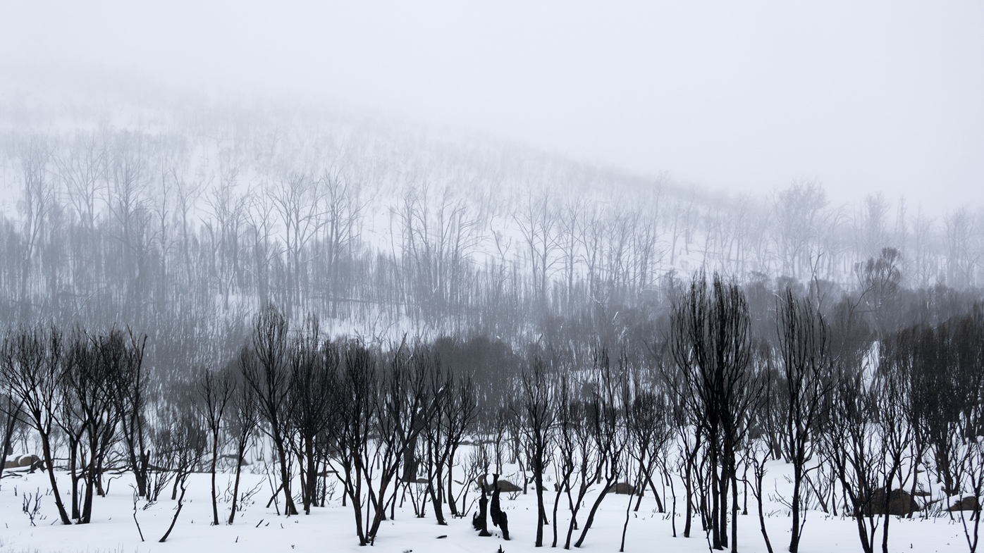
Residents in Katoomba, Black Heath and Mount Victoria are already experiencing significant snowfall with street. parks and homes blanketed in white.
Alpine areas including Thredbo and Perisher are expected to get a large dump of snow over the weekend, already recording 40 centimetres this morning.
Snow levels could reach a metre by the time the weekend is over.
Other areas around the state including Oberon, Orange and Tamworth are expected to enjoy the wintry weather.
Vitcoria and the ACT are also in for a cold weekend with snow predicted in Canberra and alpine regions.
READ MORE: Weather forecast around Australia this weekend
https://twitter.com/BOM_NSW/status/1296608543450247173"The Antarctic air will continue to spread over south eastern Australia between now and Sunday, causing a wintry mix of wind, rain, hail and snow in multiple states," Weatherzone meteorologist Ben Domensino said.
"Some areas could see thunderstorms and a few places may even witness rare thundersnow (lightning and snow at the same time)."
Hobart, Melbourne, Canberra, Sydney and Adelaide are all forecast to see drops in minimum temperatures into the single figures from tomorrow onwards due to the sudden cold snap.
from 9News https://ift.tt/2CNGsfI
via IFTTT


0 Comments